| Date | 2016 |
| Publish_location | San Francisco |
| Publisher | Asian Art Museum of San Francisco |
| Collection | Ricci Institute Library |
| Language | English |
| Record_type | Book (Exhibition catalog), Digital Book (PDF) |
| Shelf | Stacks, Digital Archives, Seminar Room 102-103 |
| Call Number | GA1121.C458 2016 |
| Description | xiii, 48 p. : col. ill., maps (some folding) ; 25 cm. |
| Note | China at the center : Ricci and Verbiest world maps / Natasha Reichle, editor ; with essays by M. Antoni J. Ucerler, Theodore N. Foss, and Mark Stephen Mir. Foreword / Jay Xu -- Preface. Mapping the marvelous / Natasha Reichle -- Missionaries, mandarins, and maps: reimagining the known world / M. Antoni J. Ucerler, SJ -- Ricci’s world map: the 1602 Kunyu wanguo quantu / Theodore N. Foss -- All under heaven: visions of far lands in the Verbiest world map of 1674 / Mark Stephen Mir. "Global exploration in the sixteenth and seventeenth centuries led to new interactions between Europe and Asia. Jesuit priests were instrumental in spreading knowledge of the world to China and information about China to Europe. China at the Center focuses on two masterpieces of seventeenth-century map-making that illustrate this exchange of information (and misinformation). The first map is the Kunyu wanguo quantu, or Map of the Ten Thousand Countries of the Earth, also known as the 1602 Ricci map, after Matteo Ricci, the Jesuit priest who helped create it. The second is the 1674 Verbiest world map, which was also made by a Jesuit priest, Ferdinand Verbiest, for the Chinese court. These two maps are among the earliest, rarest, and largest woodblock-printed maps to survive from the period. They will be examined through the lens of the development of cartography in China and through the biographies of the fascinating men who were instrumental in their production. Maps are political objects, and the inclusion of elaborate and extensive notations on both these maps illustrate the fascinating relationships between the Jesuits and the Chinese courts. These maps represent the meeting of two worldviews, and the information they contain provided Europeans with greater knowledge of China and the Chinese with new ideas about geography, astronomy, and the natural sciences. This book accompanies the exhibition China at the Center, at the Asian Art Museum March 4-May 8, 2016, which brings together the 1602 Ricci map from the James Ford Bell Trust in Minneapolis and the 1674 Verbiest map from the Library of Congress in Washington D.C"-- Provided by publisher. |
| Subject | World maps--Early works to 1800 Verbiest, Ferdinand 南懷仁, 1623-1688--Contributions in cartography Ricci, Matteo 利瑪竇, 1552-1610--Contributions in cartography Cartography--China--History--17th century--Exhibitions World maps--Early works to 1800--Exhibitions Ricci, Matteo 利瑪竇, 1552-1610. Kunyu wanguo quantu 坤輿萬國全圖--Exhibitions Verbiest, Ferdinand 南懷仁, 1623-1688. Kunyu quantu 坤輿全圖--Exhibitions |
| ISBN | 9780939117727 ; 093911772X |
| LCCN | 2015037174 |
| Multimedia |  |
| Date | 2001 |
| Publish_location | San Francisco |
| Publisher | USF Center for the Pacific Rim |
| Collection | Ricci Institute Library |
| Language | English |
| Record_type | Report (pdf) |
| Series | Pacific Rim Report (San Francisco) ; no. 17 |
| Shelf | Digital Archives |
| Call Number | BV3415.C2 N38 2001 |
| Description | 12 pages ; 22 cm |
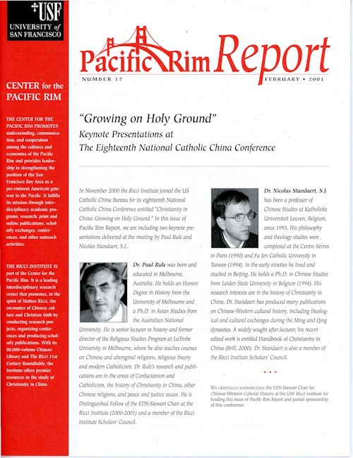
| Note | “Growing on Holy Ground": Keynote Presentations at The Eighteenth' National Catholic China Conference / Paul Rule, Nicolas Standaert. Includes biblgraphical references. Pacific Rim Report number 17, February 2001 Christianity in China: Growing on Holy Ground / Paul A. Rule (p.1-7) ; Wisdom for the Journey: Historical Perspectives on lnculturation of Christianity in China / Nicolas Standaert (p.7-12) In November 2000 the Ricci Institute joined the US Catholic· China Bureau for its eighteenth National Catholic China Conference entitled "Christianity in China: Growing on Holy Ground." In this issue of Pacific Rim Report, we are including two keynote presentations delivered at the meeting by Paul Rule and Nicolas Standaert, S.J.
|
| Subject | Inculturation--China--Congresses Catholic Church--China Christianity--China--Congresses |
| Multimedia |  |
| Date | 2003 |
| Publish_location | San Francisco |
| Publisher | USF Center for the Pacific Rim |
| Collection | Ricci Institute Library |
| Language | English |
| Record_type | Report (pdf) |
| Series | Pacific Rim Report (San Francisco) ; no. 27 |
| Shelf | Digital Archives |
| Call Number | N7343.5 .O5 2003 |
| Description | 16 pages : illustrations ; 22 cm |
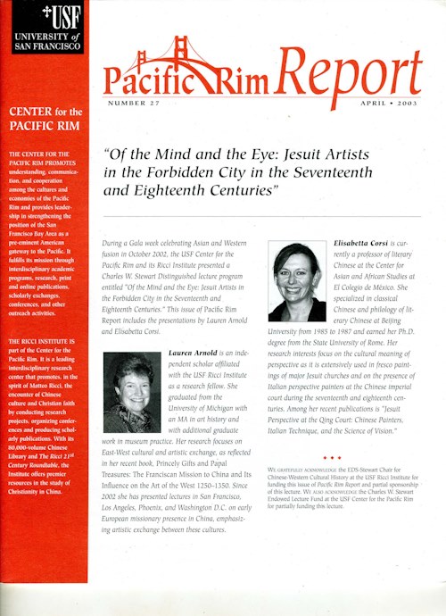
| Note | "Of the Mind and the Eye: Jesuit Artists in the Forbidden City in the Seventeenth and Eighteenth Centuries" / Lauren Arnold, Elisabetta Corsi. Pacific Rim Report number 27, 2003
Includes bibliographical references.
|
| Subject | Jesuits--China--16th-18th centuries--Contributions in art and architecture Perspective Jesuits--China--17th-18th centuries--Contributions in art |
| Multimedia |  |
| Date | 2010 |
| Publish_location | San Francisco |
| Publisher | USF Center for the Pacific Rim |
| Collection | Ricci Institute Library |
| Language | English |
| Record_type | Report (pdf) |
| Series | Pacific Rim Report (San Francisco) ; no. 54 |
| Shelf | Digital Archives |
| Call Number | BV3415.2.R86 2010 |
| Description | Pamphlet + pdf: 8 pages : illustrations ; 22 cm |
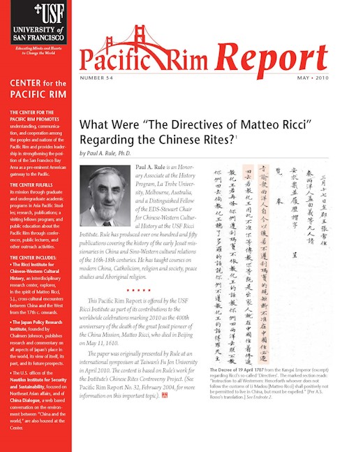
| Note | What Were “The Directives of Matteo Ricci” Regarding the Chinese Rites? / by Paul A. Rule, Ph.D. Includes bibliographical references: p. 6-8 Pacific Rim Report Number 54, May 2010 This Pacific Rim Report is offered by the USF Ricci Institute as part of its contributions to the worldwide celebrations marking 2010 as the 400th anniversary of the death of the great Jesuit pioneer of the China Mission, Matteo Ricci, who died in Beijing on May 11, 1610. |
| Subject | Chinese Rites controversy Ricci, Matteo 利瑪竇, 1552-1610--Views on Confucianism Jesuits--Missions--China--History--17th-18th centuries--Views on Chinese rites |
| Multimedia |  |